DFR’s Role in Severe Weather Incidents
DFR’s Role in Severe Weather Incidents
In the event of a severe weather event such as hurricanes, earthquakes, tornadoes, or wild fires, the first step for First Responders is locating the areas of damage and determining who needs help most urgently. Traditional methods for developing a plan of action include very resource-intensive methods like helicopter fly-overs and door-to-door check-ins that can be dangerous in an active weather event. Drone as First Responder (DFR) programs are changing the way agencies respond to these types of emergencies by providing situational awareness and aerial intelligence in seconds without putting anyone in harm’s way.
The First 90 Seconds Following the Start of a Weather Event
DFR is often discussed in the context of routine calls that agencies respond to every day. However, it is important to consider how the core capabilities of DFR can help serve your community in the case of a weather event. A drone can launch immediately after a 911 call is received and arrive over the scene before units may be able to find a path to the scene among flooded or debris-ridden streets. This early overhead view lets First Responders make faster, better-informed decisions about where to allocate resources and focus the first wave of safety efforts.
In a flash flood scenario, for example, Paladin drones can quickly identify which streets are blocked, spot which structures have been flooded, and where vehicles or people are stranded before any boats are dispatched. In a wind event, this same drone can scan for downed wires, building collapse, and fires. Information provided by a DFR drone directly shapes priorities and the game plan for Fire, EMS, and Police.
Thermal Imaging in Low-Visibility Conditions
Heavy rain, dust, or debris in the air can make a typical drone camera significantly less-effective. For agencies partnered with Paladin, this is where thermal imaging comes into play. A drone equipped with a thermal camera can detect the heat signature of a person even in low-visibility scenarios or in total darkness. This feature is essential to locating people quickly in situations where every second is critical but visibility is lacking. This feature can mean the difference between locating a survivor in minutes versus hours or days. Thermal imaging can also assist First Responders in assessing structural damage from a safe distance, spotting hot spots or electrical issues that may indicate fire risk before crews enter.
Turning Aerial Data into Actionable Information
A drone feed is only as useful as the infrastructure supporting it, and CAD integration is a crucial part of the DFR ecosystem. This integration is what turns a live video stream into a program with true operational value to the agencies and their communities. When a drone’s flight path and telemetry are tied directly to the CAD system, First Responders working with Paladin can see drone coverage overlaid with call locations, unit positions, and known hazards on a single screen inside of Watchtower, Paladin’s dedicated drone control and command center. During a multi-incident event such as a particularly bad thunderstorm, where dozens of calls are generated due to the weather, CAD integration allows dispatch to prioritize which drones launch and where they go based on call severity and proximity, rather than working off of radio transmissions and best guesses.
Docking Station Coverage
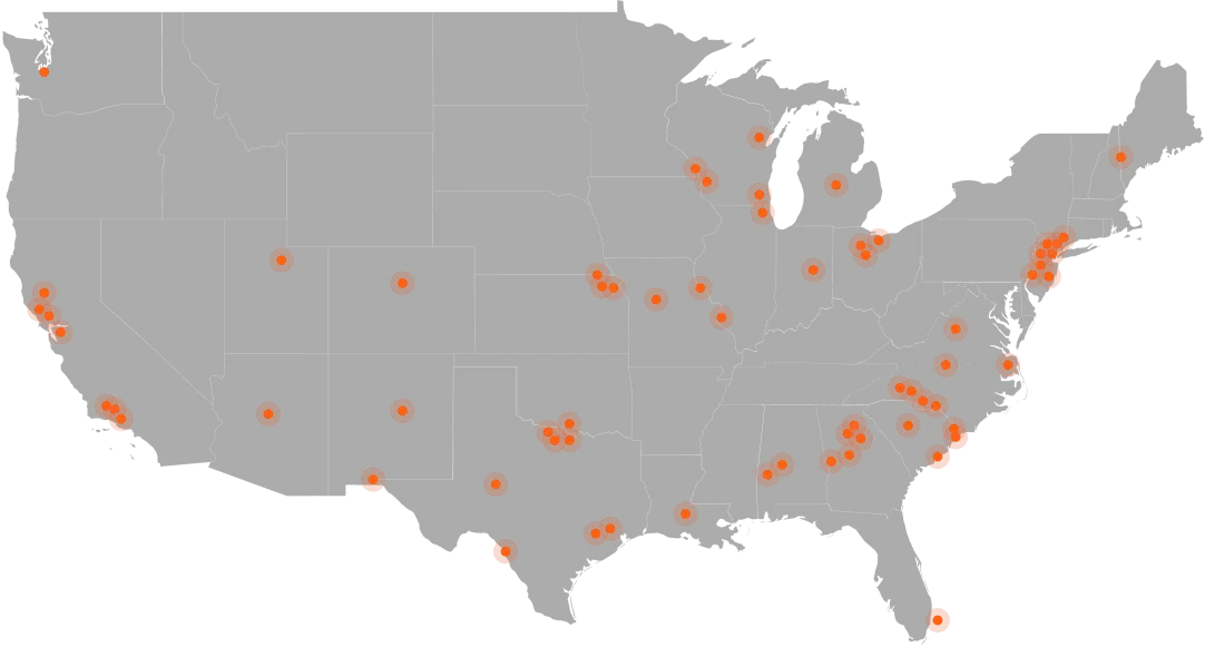
The reality of severe weather is that there is not always a warning before it happens. Implementing docking station networks removes the dependency on a human pilot being present at launch, and allows for drones to deploy autonomously. A well-positioned network of docks allows a jurisdiction to maintain coverage across a wide area, with drones capable of launching at the onset of an emergency, during which traditional response teams would still be staging or waiting for conditions to improve before responding.
With Paladin, agencies can count on their docks to not only cover a large area, but to be ready for action 24/7. Our Dock3 is weatherproof— heat, cold and wind resistance, an IP55 weather rating, and fixed-mounted deployment all support drone deployment even in severe weather conditions.
Building Resilience Before the Next Event
Disastrous weather is unpredictable in timing, severity and nature, but every area has an idea of what kind of weather their jurisdiction is at risk of experiencing. Agencies that build DFR into their broader emergency planning put themselves in a stronger position to handle these events when they arise, instead of playing catch-up or entering situations without the full picture. The goal is more than just fast response, it’s a more coordinated, tactful approach that spares First Responders from the risk of uncertainty and provides civilians with better-tailored response.
Public Safety leaders interested in exploring or expanding their DFR programs are welcome to book a free, 60-minute demo with Paladin to discuss how our program is suited to their specific region’s weather risks and existing infrastructure.