Introducting Terrain Follow: Less altitude management, more mission focus.
We are excited to announce the launch of our new feature Terrain Follow, one of our most requested flight capabilities. Terrain Follow allows any Paladin drone to automatically adjust its altitude as the ground below rises and falls. Instead of a pilot manually moving the drone up and down over hills, valleys, and slopes, Terrain Follow allows the drone to maintain a consistent height above the ground for the duration of the mission. This feature is available within Watchtower and works for both autonomous and manual flights.
How does it work?
Terrain Follow supports UAVs in maintaining a selected altitude above the ground (above ground level, or AGL) as it moves through an area with changing elevation. Say an operator configures a mission to 200 feet AGL. If the terrain becomes higher or lower, the drone will increase its altitude to maintain the preset AGL. This means that even if the underlying terrain changes by hundreds of feet, the pilot is no longer responsible for manually compensating for every elevation change.
This feature is especially useful for agencies that operate around mountains, slopes, industrial sites, or infrastructure corridors. Pilots can now focus fully on the video feed, the mission at hand, and the information being collected to better assist on-ground units.
Why is Terrain Follow needed?
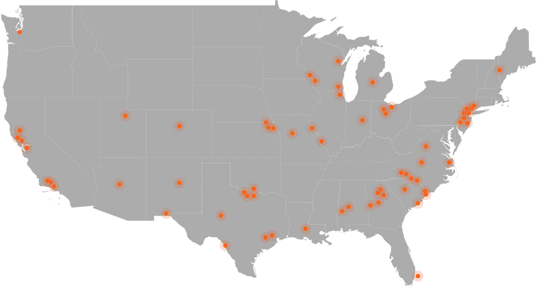
As Paladin has expanded rapidly across the country, we have seen more agencies operating in geographically complex areas. Pilots have to consider things like weather conditions, regulatory requirements, and aircraft limitations among a slew of other variables present in each flight, and terrain variations add another layer of intricacy. With Terrain Follow, pilots can focus on other priorities while the drone adjusts its altitude automatically. This feature lets the operator dedicate more energy to the actual mission without the burden of manual altitude adjustment. DFR is complicated enough— Paladin aims to continue developing technology such as Terrain Follow that simplifies DFR missions.
Terrain follow provides:
Smoother mission execution
Automated altitude adjustments allow for a smoother and quicker flight path.
Reduced risk of human error
Automate repetitive altitude corrections and reduce dependence on constant manual adjustments.
Ease of operation in complex environments
Operate without treating every elevation change as a separate manual flight task.
Greater mission coverage
Areas that were previously more operationally demanding can become easier to reach and manage.
Supporting our Mission
Terrain Follow isn’t just another feature available to Paladin clients— it represents the mission of our company and our goal to simplify the DFR workload with every update.
Terrain Follow is a major step toward making drone operations feel simple, even when the underlying environment is complex. Our system handles the technical execution of DFR missions while pilots focus on getting the information they need for successful missions and safer outcomes.
For more information on terrain follow and Paladin’s Drone as First Responder systems, please book a demo with our team!